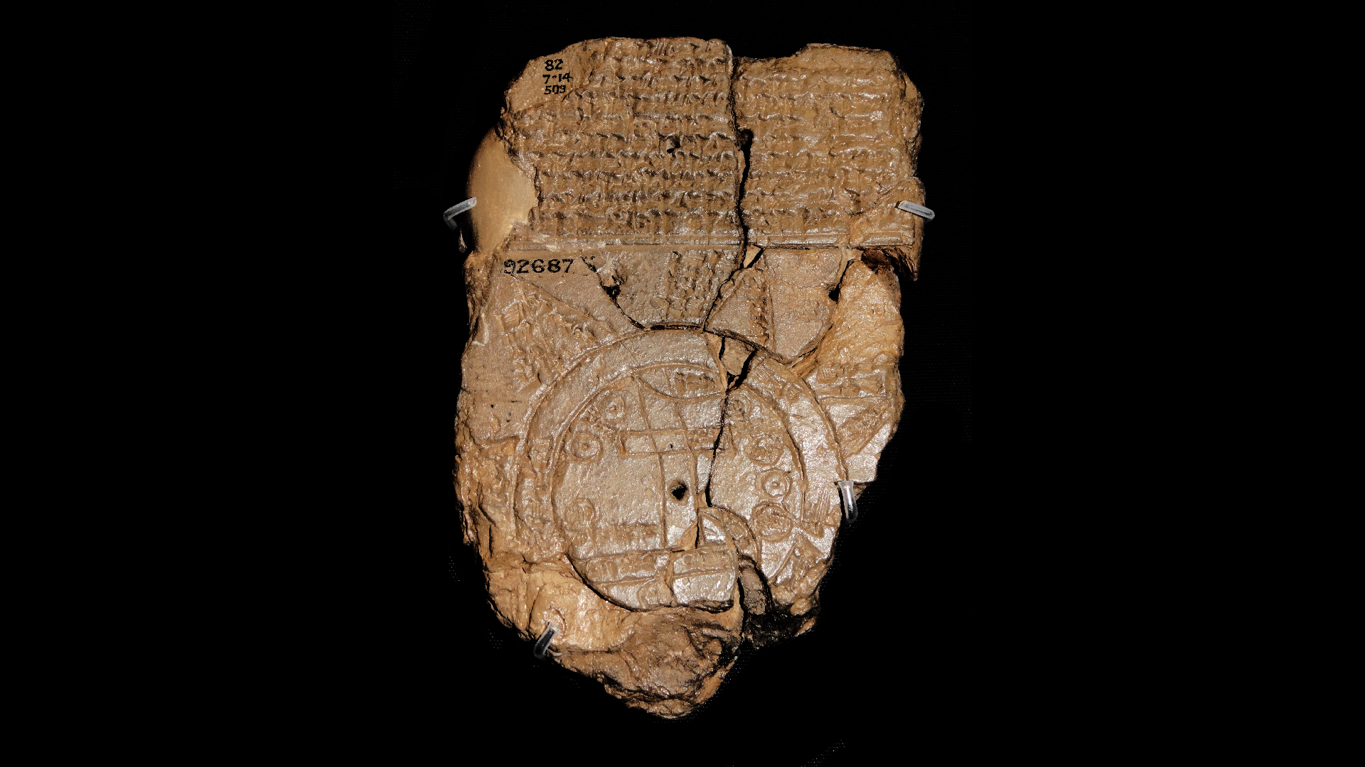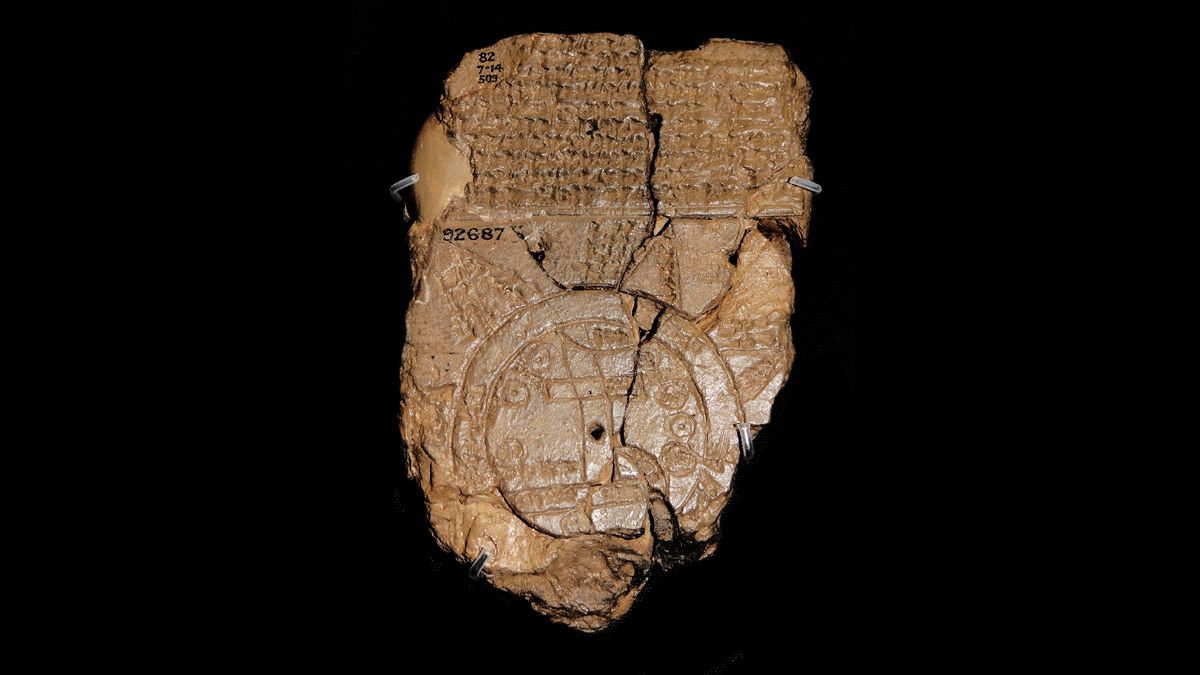
Name: Babylonian Map of the World (“Imago Mundi” in Latin)
What it is: A clay tablet inscribed with the oldest known map of the ancient world
Where it is from: Abu Habba (Sippar), an ancient Babylonian city in what is now Iraq
When it was made: Approximately the sixth century B.C.
What it tells us about the past:
This tablet, which depicts how Babylonians perceived the world thousands of years ago, is peppered with details that offer insight into an earlier time. For example, the ancient world is shown as a singular disc, which is encircled by a ring of water called the Bitter River. At the world’s center sits the Euphrates River and the ancient Mesopotamian city of Babylon. Labels written in cuneiform, an ancient text, note each location on the map, according to The British Museum.
Interestingly, cartographers may have used some creative license. For instance, “Babylon” is marked on only one end of the Euphrates, even though it occupied both banks for most of its history.
MORE ASTONISHING ARTIFACTS
Above the map is a block of text describing the creation of the world by Marduk, the chief god of Babylonia. The description names more than a dozen animals — including a mountain goat, lion, leopard, hyena and wolf — as well as several notable rulers, such as Utnapishtim, a king who survived an epic flood.
On the back of the map is more text describing eight outlying regions, known as nagu, each with a short description.
The tablet, which measures 4.8 inches tall by 3.2 inches wide (12.2 by 8.2 centimeters), is part of The British Museum’s permanent collection.

